Your partner with a track record at sea
Sofar builds the sensors, runs the network, produces the forecasts, and delivers the intelligence to support global defense operations. Commanders and operators use this intelligence to confidently plan operations, secure ports, and route ships.
Turning raw ocean data into the intelligence that shapes decisions
at sea.
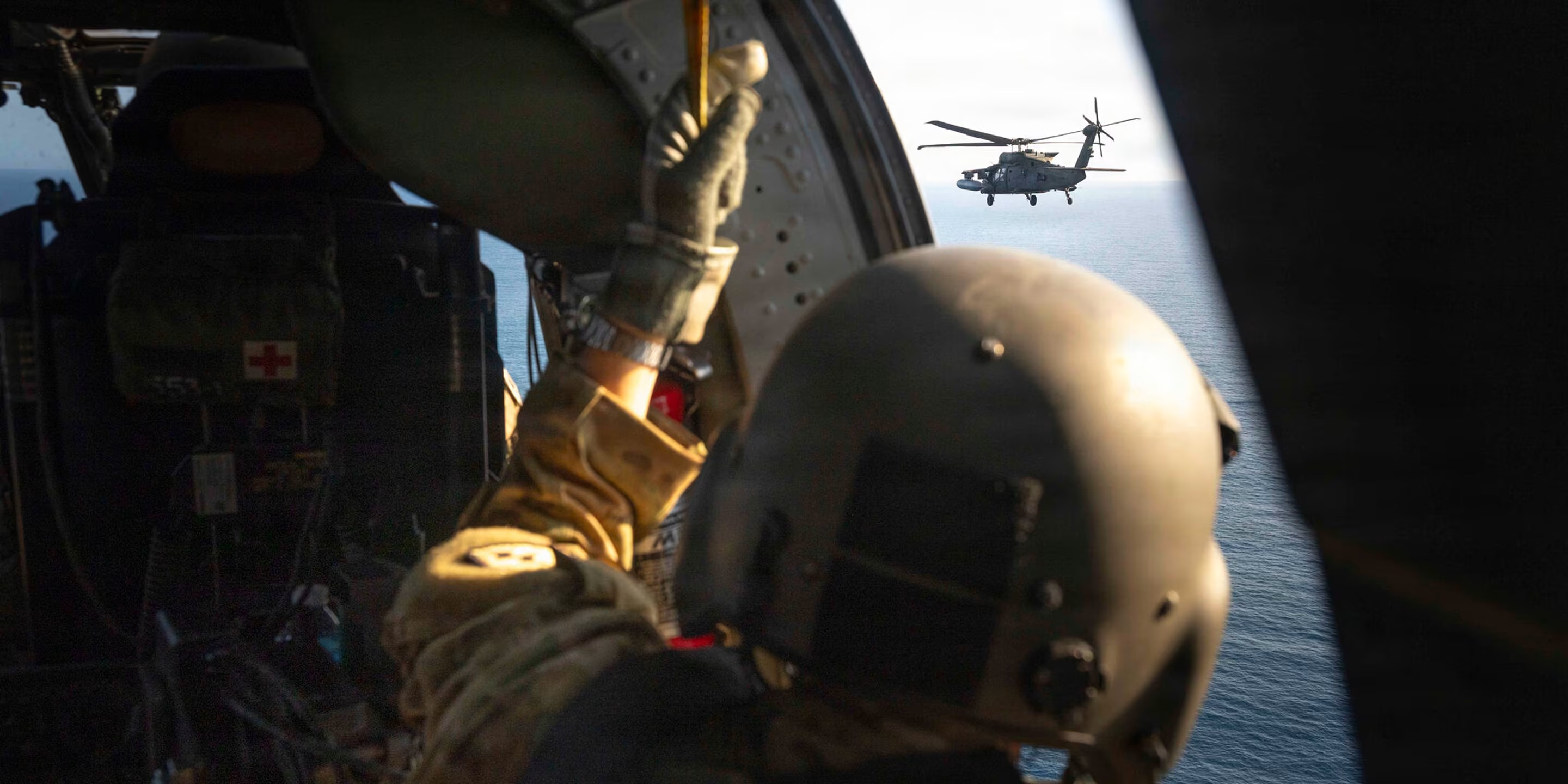
Trusted for global defense and security operations
Wayfinder is piloted by Navy Fleet Weather Centers and Military Sealift Command.
U.S. Navy puts Wayfinder to the test →U.S. Navy pilots Wayfinder for safe routing →Navy weather centers to pilot Wayfinder →01 / 06
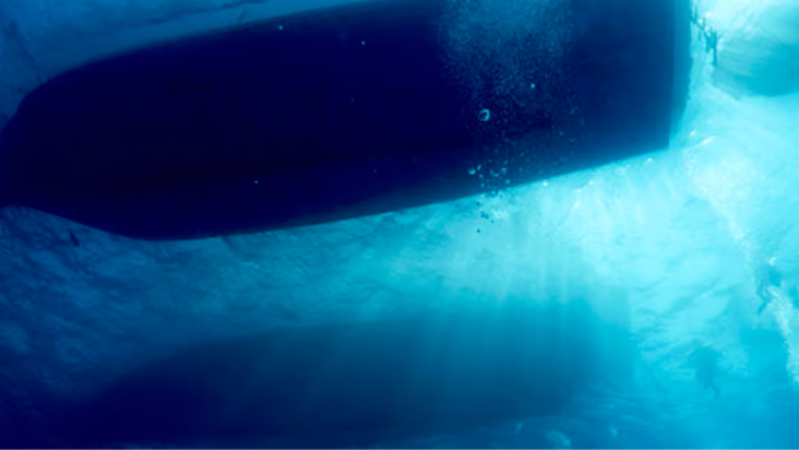
First-ever carrier deployment of a Sofar buoy, aboard the USS Abraham Lincoln, 2025.
Read the CNMOC feature →03 / 06
Deployed in Arctic conditions aboard the USCGC Healy, 2022.
04 / 06
Bristlemouth, the open ocean-sensor standard Sofar backs, is supported by DARPA, ONR, MITRE, and NOAA.
05 / 06
Sofar also partners with NOAA's Environmental Modeling Center to improve wave model accuracy.
Read more →06 / 06
Ways to work with us
CRADA
Cooperative research and development agreements between Sofar and a government partner.
OTA Consortia
Sofar is a member of several OTA Consortia including IWRP, MATAC, & more. Contact us for more information.
Platform One Solutions Marketplace (P1SM)
A DoD marketplace where vetted commercial solutions are reviewed through a Commercial Solutions Opening, so government buyers can make awards faster. Sofar solutions are awardable on P1SM
Tradewinds Solutions Marketplace
A DoD marketplace for AI, data and analytics solutions, where vendors pitch by video and government buyers can make awards directly from the marketplace.
Press
By using Wayfinder, we're able to better visualize ourships' routes, and make safer and more streamlineddecisions on route, speed, and heading. Wayfinder hasthe potential to be a critical component of our day-to-dayoperations and a key driver of safe routing as we contendwith an increasingly unpredictable weather landscape.
Read more...
Deployments of sensors like the spotter buoys improve the accuracy and effectiveness of our environmental models and our forecasts... Read more...